



The Best Walking Trails in Lebanon: 8 Walks for All Levels
Cedar forests, monastery valleys, Roman roads and a waterfall behind three stone bridges: these are Lebanon’s best walks, most of them doable in a day from Beirut.
- Region
- Across Lebanon
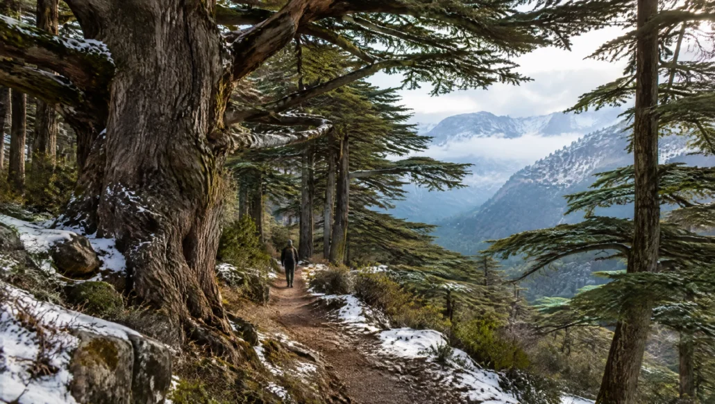
You do not need to be a serious hiker to walk well in Lebanon. Some of the country’s best walks are an hour or two long: down into a gorge to see a waterfall, through a cedar forest on a marked path, or along a river to a fortress. Others link villages for a whole day on the Lebanon Mountain Trail. What they share is variety: cedar and fir forests, deep limestone valleys full of monasteries, Roman roads and old stone terraces, often within 90 minutes of Beirut.
These are the walks we would point a friend to first, with notes on effort, season and what to pair them with.
How we chose
We kept the real trails from the old version of this page and checked them against reserve information, UNESCO and published trail references. We removed one entry we could not confirm as a walking route and added Jabal Moussa, a UNESCO biosphere reserve with a well-marked trail network. We looked for walks that are clearly marked or easy to follow with a guide, and that suit a range of fitness levels.
1. Baatara Gorge (Tannourine, Batroun district)
A short, easy walk with a huge payoff. From the parking area near Balaa, a path leads down to viewpoints over the Baatara pothole, where meltwater falls behind three natural limestone bridges into a deep chasm. The site lies on the Lebanon Mountain Trail, so you can extend it into a longer hike.
Go in spring (March to May) when the fall is running. Tip: pair it with the Tannourine Cedar Forest Nature Reserve nearby for a full day among cedars and gorges.
2. Shouf Cedar Reserve (Barouk, Maasser el Chouf, Ain Zhalta)
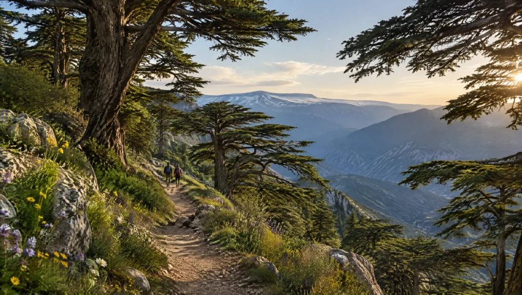
The Shouf Biosphere Reserve is the largest protected area in Lebanon, covering about 500 km² or roughly 5% of the country. Its cedar forests at Barouk, Maasser el Chouf and Ain Zhalta have marked trails from short family loops among old trees to long ridge walks with views over the Bekaa and down to the sea. In winter, the same paths are used for snowshoeing.
The reserve has several entrances, each with its own trails, so choose by how far you want to walk. Tip: stay a night in the Chouf; Bouyouti in Maasser Beiteddine is a guesthouse close to the reserve.
3. Qadisha Valley (Bcharre and Zgharta districts)
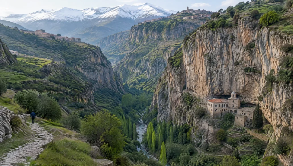
The Holy Valley is a UNESCO World Heritage Site together with the Forest of the Cedars of God above Bcharre. For centuries its cliffs sheltered hermits and monks, and the valley floor is dotted with monasteries such as Qannoubine, Our Lady of Hawqa, Saint Anthony of Qozhaya and Deir Mar Lichaa, some built right into the rock.
The most popular walk drops into the valley and follows the river path between monasteries. It is not long, but the descent and the climb back out are steep. Tip: dress modestly for monastery visits and keep quiet near places of prayer.
4. Horsh Ehden Nature Reserve (Ehden, Zgharta)
Established in 1992, Horsh Ehden protects about 17 km² of mountain forest above Ehden. On less than 0.1% of Lebanon’s land, it holds over 1,000 plant species, nearly 40% of the country’s native flora, along with cedar, Cilician fir, juniper and the rare Lebanese wild apple, which is protected nowhere else in the country.
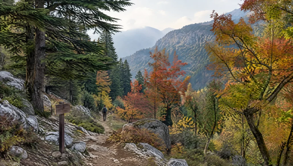
The marked trails are mostly moderate and shaded, which makes them a good summer escape from the coast. Tip: autumn brings beautiful colour to the mixed forest, and Ehden’s main square is a good place for lunch afterwards.
5. Jabal Moussa Biosphere Reserve (Keserwan)
In the mountains above Jounieh, the Jabal Moussa Biosphere Reserve covers about 65 km² between roughly 350 and 1,700 m and joined UNESCO’s biosphere network in 2009. It has around fifteen trails, from short paths to full-day hikes, and its forests are crossed by ancient Roman roads and stairways. Rock inscriptions left by the emperor Hadrian to mark protected forest can still be seen.
The reserve is also home to more than 700 plant species and is an Important Bird Area for migrating soaring birds. Tip: the reserve works with local guesthouses and families who serve lunch, so ask about combining a walk with a village meal.
6. Darb el Mseilha (near Batroun)
Just inland from Batroun, the Mseilha fort stands on a narrow limestone rock above the Nahr el Jawz. It was built in its current form in the 17th century under Emir Fakhreddine II to guard the coastal road. A short walk along the river below the fort, with the rock and the castle walls above you, is an easy outing for families.
Tip: walk here in the morning and spend the afternoon in Batroun’s old town, with a fresh lemonade from Hilmi’s Lemonade.
7. Lebanon Mountain Trail sections and the Douma side trail
The Lebanon Mountain Trail runs about 470 km from Andaket in the north to Marjayoun in the south, in 27 day-long sections that pass through more than 75 villages, at altitudes between about 570 and 2,070 m. You do not need to walk it all: many people pick a single section, such as Faraya to Kfardebian, or one of the side trails, including the one at Douma.
Douma itself, a red-roofed village in the Batroun hills, is a lovely base. Tip: the Lebanon Mountain Trail Association provides GPS tracks and can connect you with guides and guesthouses such as Beit Douma.
8. El Qammouaa forest (Fnaydek, Akkar)
In Lebanon’s far north, the high plateau of El Qammouaa above Fnaydek is known for old forests of cedar, fir, juniper and oak, some with very old trees. It feels remote, with wide meadows that turn green in late spring and very few visitors.
Because it is far from Beirut and trails are less marked, it is best walked with a local guide or a hiking group. Tip: plan it as a weekend rather than a day trip.
Tips
- Spring (April to June) and autumn (September to November) are the best walking seasons. Summer is fine in the high forests but hot on lower trails.
- Many reserves charge a small entry fee and some trails require a guide; check before you go.
- Wear shoes with grip, even on short walks. Limestone paths are slippery when wet or dusty.
- Carry water and a snack; there are few shops on the trails.
- If walking alone on the Lebanon Mountain Trail, tell someone your route and get the GPS track from the trail association.
- Join a group hike to meet people and avoid planning logistics: operators like Liban Trek run weekly walks.