



Tannourine Cedar Forest Guide: Trails, Baatara Gorge and More
Lebanon’s densest cedar forest, a waterfall that drops behind three stone bridges, and some of the best climbing and hiking in the north.
- Region
- Tannourine, Batroun district, North Lebanon
- Time needed
- One full day
- Best time to visit
- April to June for the waterfall, autumn for hiking
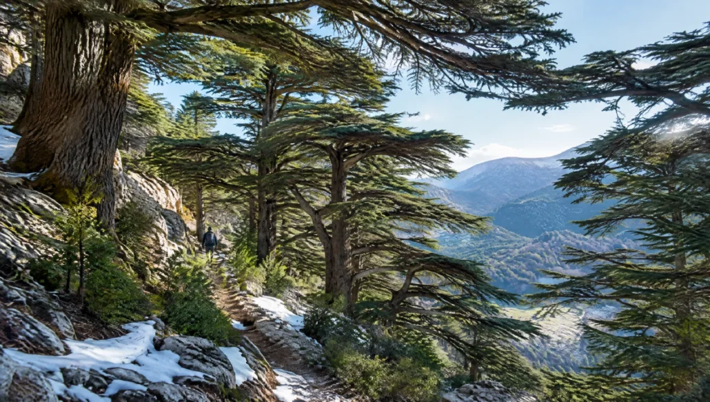
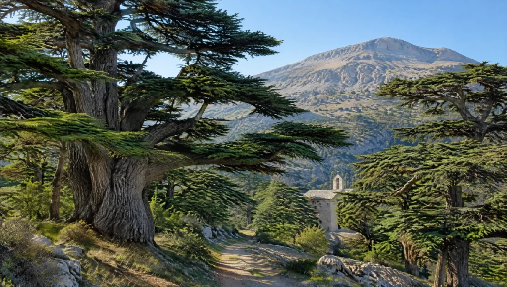
The Tannourine Cedars Forest Nature Reserve protects the largest and densest cedar forest in Lebanon, on the steep limestone slopes above Tannourine el Faouqa in the mountains of the Batroun district. Declared a reserve in 1999, it covers about 625 hectares between roughly 1,300 and 1,800 m, and cedars make up more than 80 percent of its trees, mixed with oak, juniper and maple. Unlike the small, fenced grove at Bcharre, this is a real forest you can walk into for hours.
Tannourine is also a base for some of the best adventure in North Lebanon: the Baatara Gorge waterfall, where a spring torrent drops behind three natural stone bridges, a famous limestone climbing area, and sections of the Lebanon Mountain Trail that link Hasroun, Tannourine and Aaqoura. Correcting a common mistake: the Tannourine reserve is a national nature reserve, not a UNESCO World Heritage Site. The UNESCO cedars are the Cedars of God near Bcharre.
What to see and do
The cedar forest trails
The reserve has five hiking trails of different lengths and difficulty, winding through cedar groves, natural grottos and rocky outcrops with views down the valley. It was named an Important Bird Area in 2006, and wild boar and wolves still live in the forest, though you are far more likely to meet birds and squirrels. In winter, the forest is often under snow, and snowshoeing becomes the best way in.
Baatara Gorge waterfall
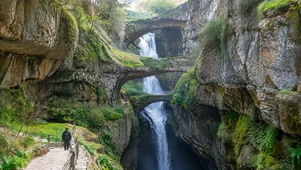
The Baatara pothole, also called the Cave of the Three Bridges, lies near the village of Balaa above Tannourine. A stream fed by mountain springs falls about 255 m into a sinkhole in Jurassic limestone, behind three stacked natural bridges. The French biospeleologist Henri Coiffait found it in 1952, and the Spéléo Club du Liban reached the bottom in 1953. The waterfall only really flows in spring, from snowmelt, so time your visit for March to May. The entrance is a small dirt track marked by a Lebanon Mountain Trail information board, and a short path leads to viewpoints over the chasm. Stay on the marked route: the edges are sheer, and the site is fragile.
Rock climbing
The cliffs around Tannourine hold more than 300 climbing routes, from easy to extremely hard, between 10 and 70 m tall. Unless you climb regularly, go with a qualified local guide who knows the routes and has the gear.
Bchaaleh’s old olive trees
On the road between Douma and Tannourine, the village of Bchaaleh guards a group of eleven very old olive trees, known locally as Noah’s Olive Trees. At around 1,250 m, the village is often described as one of the highest places in the world that produces olives.
Getting to know the cedar
Walking here is the best way to understand why the cedar sits on the Lebanese flag. Young trees grow as narrow cones, while old ones spread wide, flat layers of branches that hold snow through the winter. Look for the upright cones on the upper branches in autumn, and notice how the forest changes with altitude, from oak and juniper lower down to almost pure cedar near the top. Rangers and local guides can tell you which groves are oldest and which slopes were replanted.
A suggested day
Morning
Leave Beirut early on the coastal highway to Byblos, then climb inland through Douma toward Tannourine. Go straight to the cedar reserve while it is cool and quiet, and walk one of the trails for two to three hours.
Afternoon
Picnic in the forest or eat in Tannourine, then drive up to Balaa for the Baatara Gorge. In spring, give yourself time to watch the waterfall from the different viewpoints. If you have energy left, stop in Bchaaleh to see the old olive trees on the way back down.
Evening
Drive down to the coast for sunset and a fish dinner in Batroun, or stay in the mountains. Beit Douma is a restored heritage house in Douma, a red-roofed village on the road between the coast and Tannourine.
Where to eat and what to take home
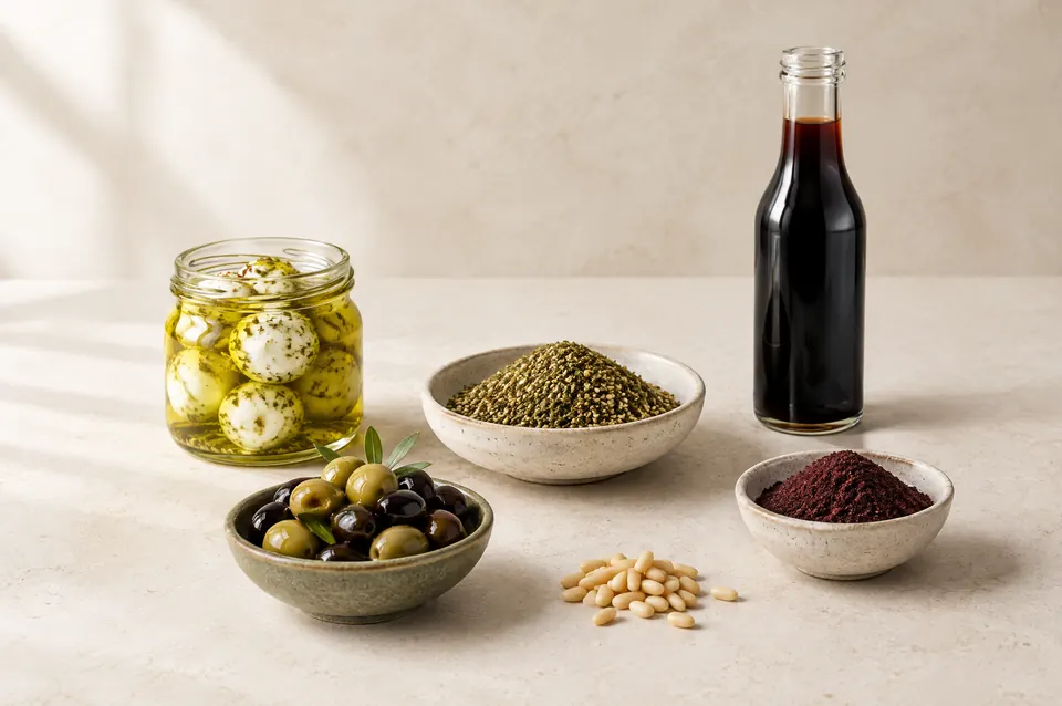
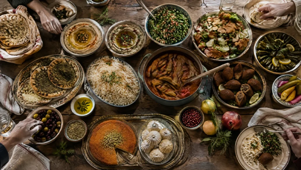
Tannourine has simple restaurants with mountain grills and mezze, and roadside stands selling apples, cherries and mouneh in season. The Batroun district below is one of Lebanon’s best food regions. Clos du Phoenix is a certified organic family winery in Eddé, and The Three Brothers distills a modern take on arak. For honey from these hills, look for Pure Farms, an organic beekeeping farm in the Batroun district.
Practical tips
- The mountain roads are narrow and winding. Drive in daylight and expect snow and ice from December to March.
- Bring layers. The forest is much cooler than the coast, even in summer.
- Stay on the trails, take your rubbish home and never light fires in the reserve.
- Mobile coverage is patchy in the forest and around the gorge. Download offline maps before you go.
- For climbing, caving or winter hikes, hire a local guide.
Nearby
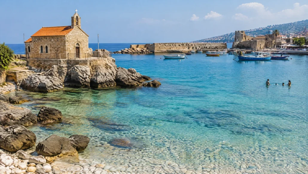
Batroun’s coast is about an hour below Tannourine; see our Batroun beach day. For more falls and forests, read our list of the best waterfalls in Lebanon, or continue north to the Cedars of God above Bcharre.